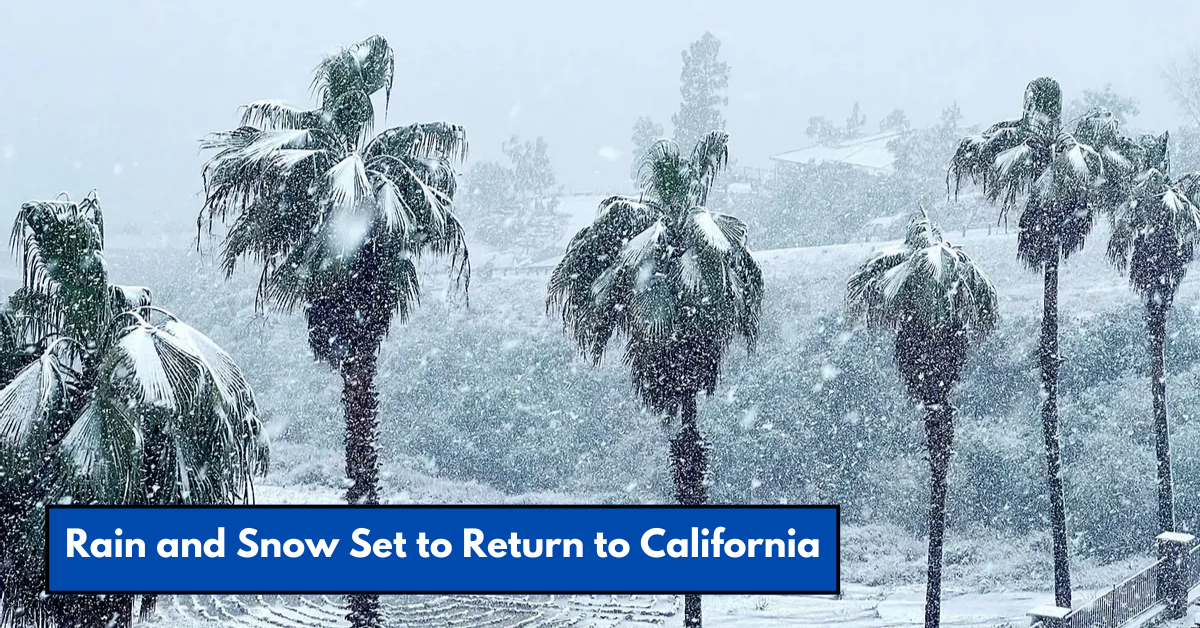
California is finally seeing some hope for rain and snow after enduring a prolonged stretch of dry weather this January. San Francisco’s rainless streak will hit two weeks on Monday, as a high-pressure system keeps precipitation at bay. However, by the weekend, parts of the state may experience rain and even snow, bringing some relief to the ongoing drought.
For the next five days, the weather will remain dry, with another round of strong Santa Ana winds forecasted to hit coastal Southern California from Monday through Tuesday. These winds will create “extreme fire weather” conditions in the region. Similarly, Northern California will experience dry Diablo winds, clearing fog but raising fire concerns.
From Wednesday to Friday, a high-pressure system will dominate, trapping a dry air mass and causing relative humidity to drop in coastal areas. This will lead to continued fire risks, particularly in Southern California.
The dry conditions, combined with clear skies, are expected to create a mix of chilly nights and unusually warm days. By Thursday, daytime highs could reach 70°F in San Jose and 80°F in Los Angeles—about 10°F above normal for January. Nighttime temperatures, however, will remain cold, with valleys dipping into the 30s and mountain areas experiencing below-freezing temperatures.
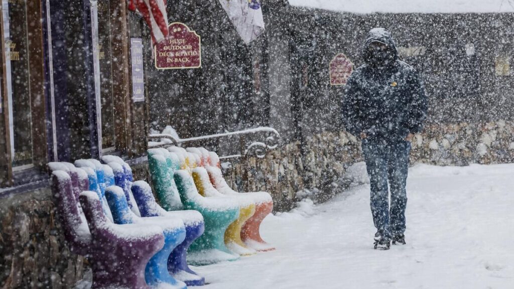
Relief may come this weekend as a cold low-pressure system approaches California. While it’s not expected to be a major storm, there’s a decent chance of precipitation. Lake Tahoe could see its first snowfall in weeks, and Los Angeles and San Diego may experience their first significant rainfall since last April. The Bay Area, however, is expected to receive less than a tenth of an inch of rain.
The amount of rain and snow will depend on the system’s trajectory. If the system moves along the California coast, it will gather moisture and bring rain and snow to the region. However, if it stays over Nevada, the precipitation will be limited, and dry Santa Ana winds could become a greater concern.
Meteorologist Robert Munroe from the National Weather Service in Oxnard estimates a 50%-70% chance of precipitation from Saturday through Monday, with a slight chance of thunderstorms.
Even with modest precipitation, the snowline is likely to be very low. Snow could dust peaks above 3,000 feet in the Bay Area on Saturday night, while elevations above 4,000 feet in Southern California might see a few inches of snow by Sunday.
Despite this weekend’s encouraging forecast, the overall outlook remains dry. The weather pattern for late January and early February suggests below-average precipitation, which will likely worsen drought conditions across Central and Southern California.
Regional Forecast Highlights for Monday
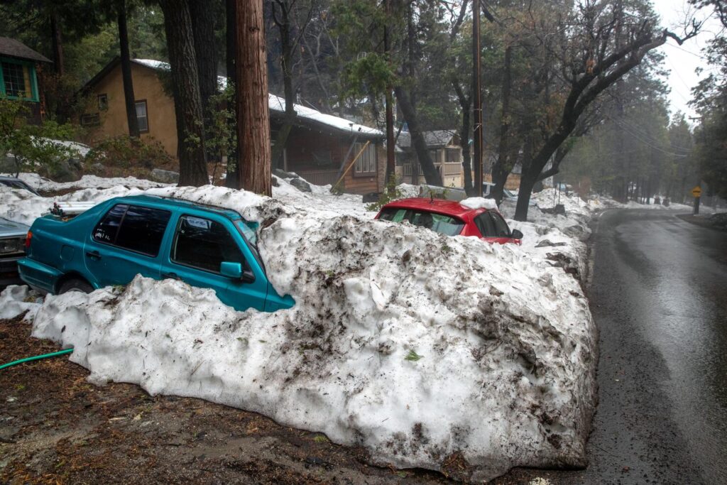
Here’s a breakdown of Monday’s weather across key regions of California:
- San Francisco: Morning fog near the bay will clear as northeast winds pick up, with gusts of 25-35 mph. Highs will reach around 60°F, while overnight lows will drop to the low 40s, possibly upper 30s in cooler neighborhoods like Cole Valley.
- North Bay: A wind advisory is in effect for interior mountains, with gusts up to 50 mph. Highs will be in the low 60s, while overnight lows could drop to the mid-30s, with frost likely in valleys.
- East Bay: The hills may experience gusts up to 40 mph. Highs will range from the upper 50s to low 60s, with overnight lows in the low to mid-30s in interior valleys like Concord and Walnut Creek.
- Pacific Coast and Peninsula: Morning fog will clear, with gusts up to 35 mph near Half Moon Bay. Highs will reach the upper 50s to low 60s, and overnight lows will range from the upper 30s to mid-40s.
- South Bay and Santa Cruz: The day will start with lingering fog but clear for a sunny afternoon. Highs will range from the upper 50s to mid-60s, and overnight lows will be chilly, dipping to the mid-30s and near freezing in areas like Gilroy.
While California’s weather remains predominantly dry and warm for now, the possibility of rain and snow this weekend offers a glimmer of hope. The state will need more consistent precipitation to combat drought conditions, but even a modest storm could provide temporary relief.
This article has been carefully fact-checked by our editorial team to ensure accuracy and eliminate any misleading information. We are committed to maintaining the highest standards of integrity in our content.
Premlata is a seasoned finance writer with a keen eye for unraveling complex global financial systems. From government benefits to energy rebates and recruitment trends, she empowers readers with actionable insights and clarity. When she’s not crafting impactful articles, you can find her sharing her expertise on LinkedIn or connecting via email at biswaspremlata@gmail.com.

